
Digital Twins
Understand a system before changing it.
Digital representations of physical environments let us test, compare and explain before anything moves in the real world.
- Real world
- Digital representation
- Data
- Understanding
- Decision
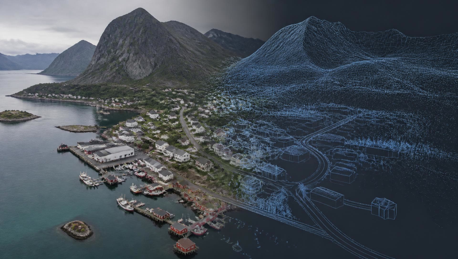
A real place, captured and rebuilt.
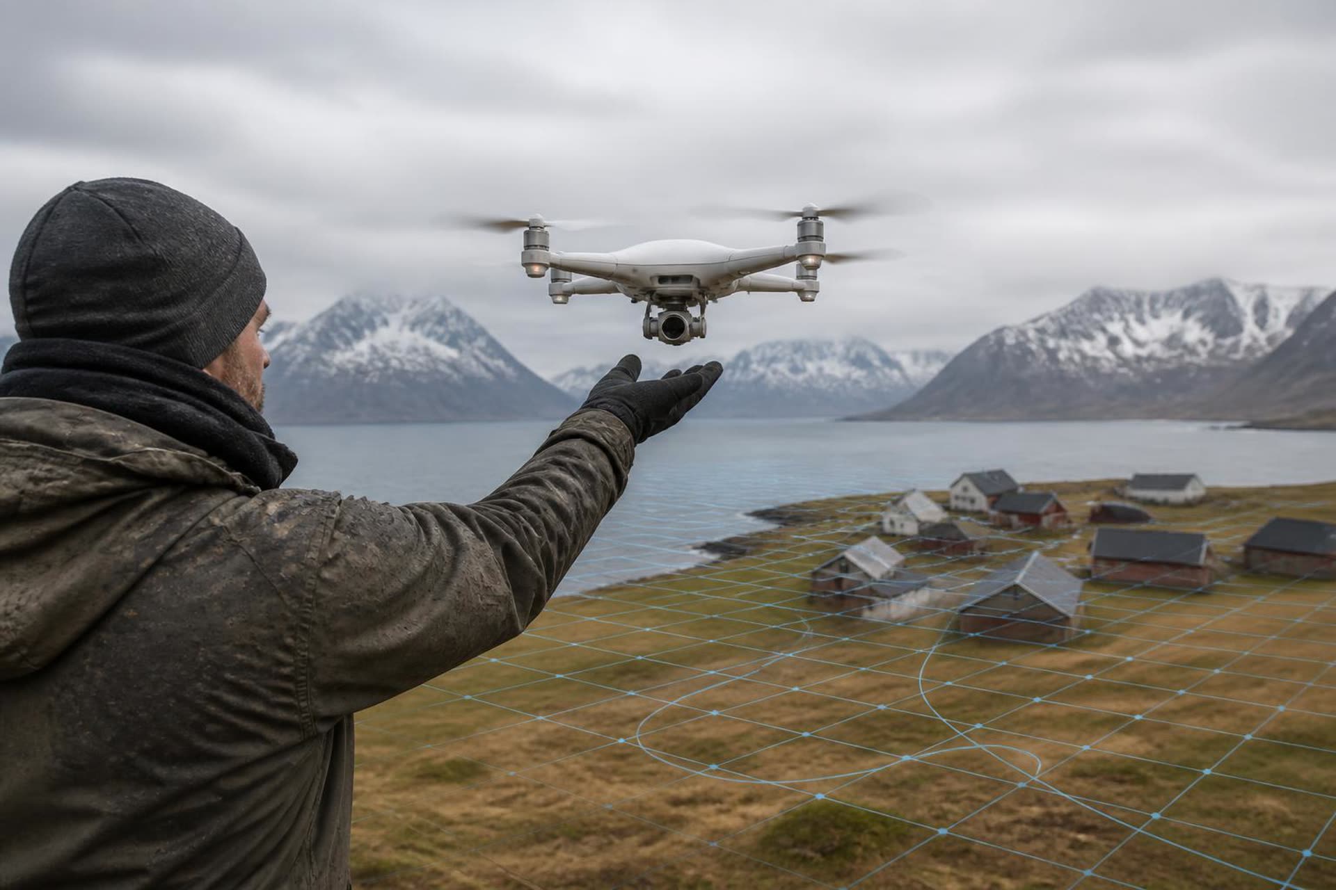
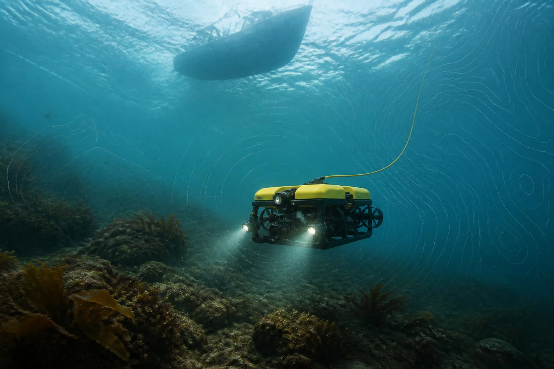
Drones, LiDAR, sonar and sensors turn a coastline, a harbour or a settlement into measurable geometry. Nothing in the model exists that was not first observed.
Toggle what you need to see.
Data layers
Layers can be combined. A place becomes readable when its resources, movement and history occupy the same model.
A model that keeps learning as knowledge is added.
An area of development and collaboration, not a finished commercial product: a twin that grows from terrain and buildings into activity, environment, transport, history and local knowledge.
Nature
Terrain, water, vegetation, weather
Infrastructure
Buildings, quays, roads, power
Activity
Transport, visitors, operations
People
Local knowledge, culture, history
Environment
Sensors, water quality, emissions
Research data
Surveys, pilots, measurements
Analysis
Patterns, relationships, scenarios
Decision
Knowledge returned to people
ADT is an experimental direction developed together with research and local actors.
A model becomes useful when someone can act on it.
Living lab
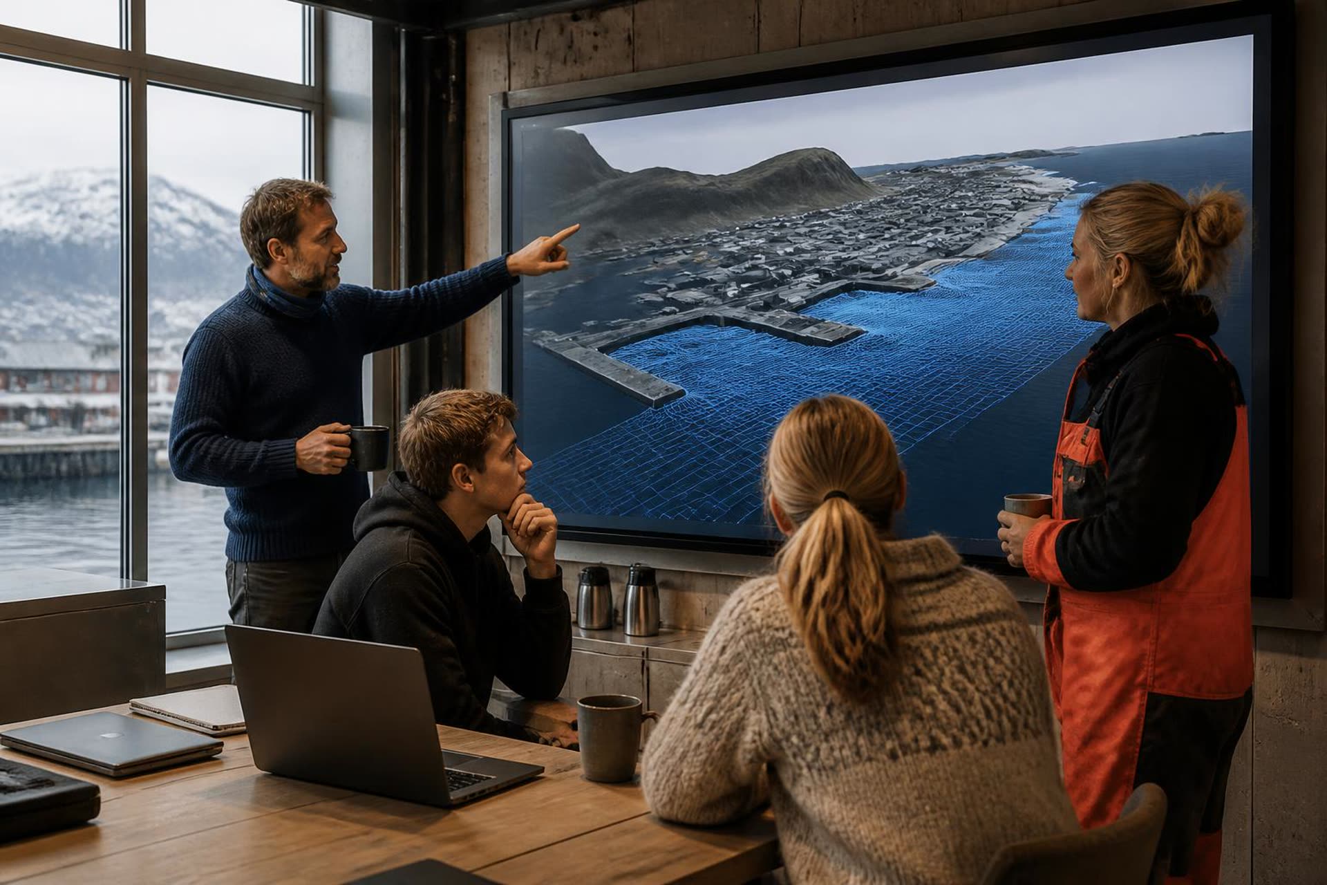
Corrected by the people who know the place.
Every twin we build is reviewed with operators, municipalities, researchers and residents. Their corrections are data too.
A model can also become a place to explore.
The same representation used for planning can carry story, learning and interaction. This is an expandable direction, not a finished product.
- Real place
- Digital twin
- Story
- Game
- Interaction
- Knowledge